

Glenn Johnson & Associates, LLC
Land Surveying Services
Professional land surveying services based in Dallas, Pennsylvania, supporting residential, commercial, and property-related projects across Northeastern Pennsylvania.
Boundary work, topographic surveys, subdivision planning, elevation certifications, and technical surveying support backed by decades of regional field knowledge and project experience in NEPA.
Questions about a property, boundary, or project need?

Surveying for Boundary, Site & Land Development Needs
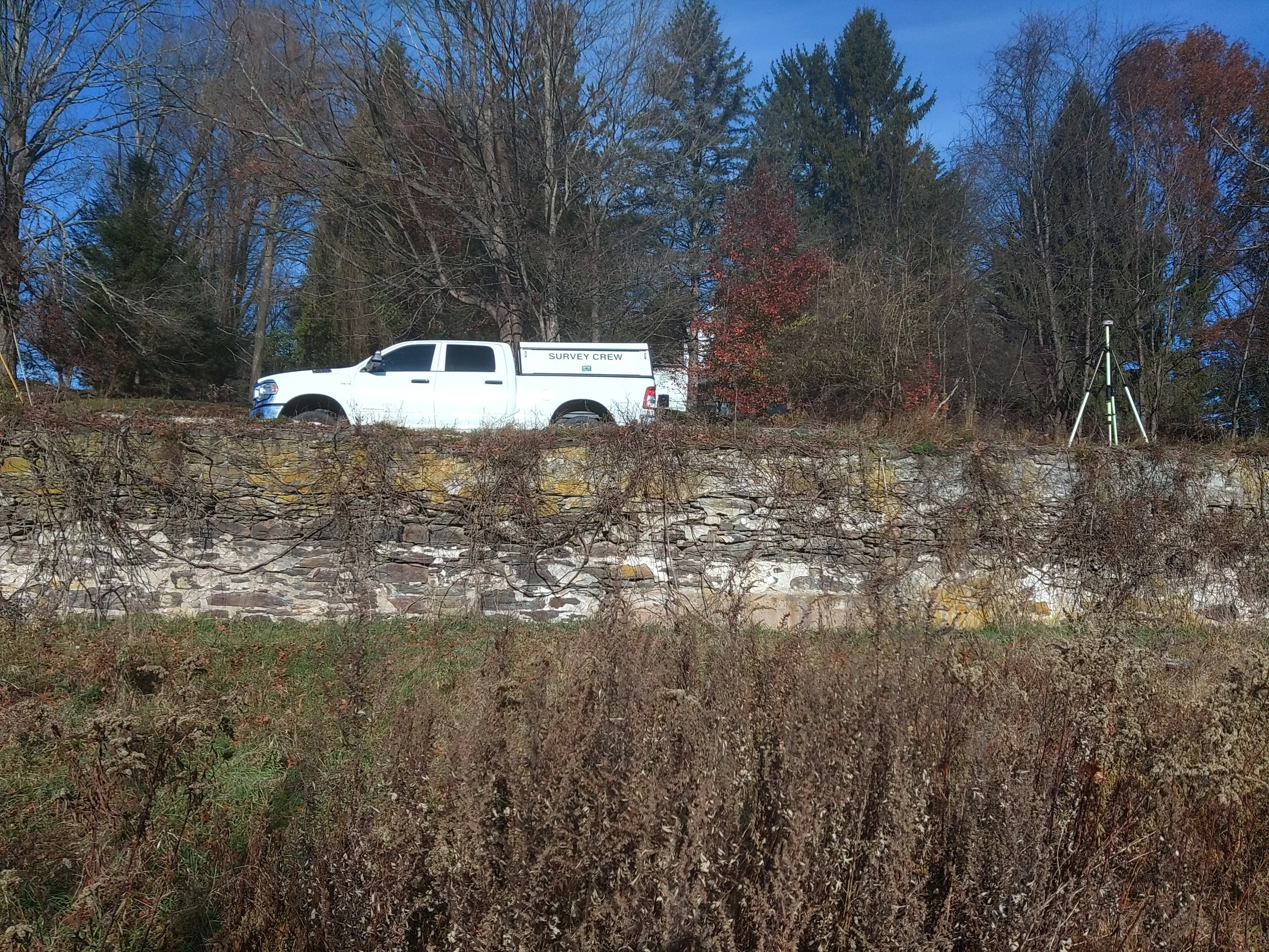
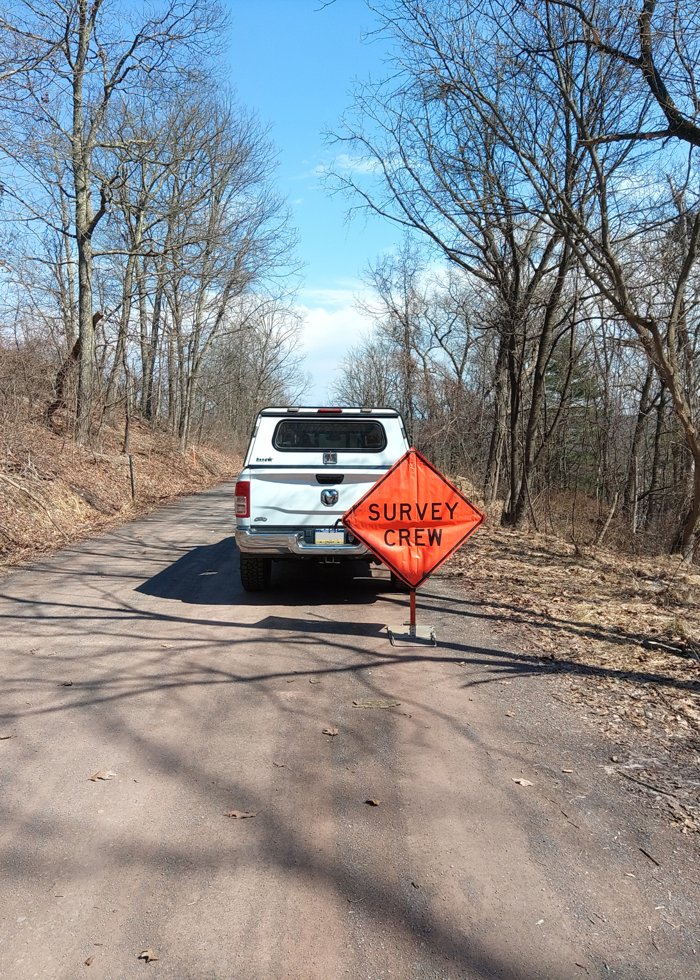
Glenn Johnson & Associates, LLC provides surveying support for a wide range of residential, commercial, and technical project needs throughout Northeastern Pennsylvania.
PROPERTY & BOUNDARY SURVEYS
-
Residential & Commercial
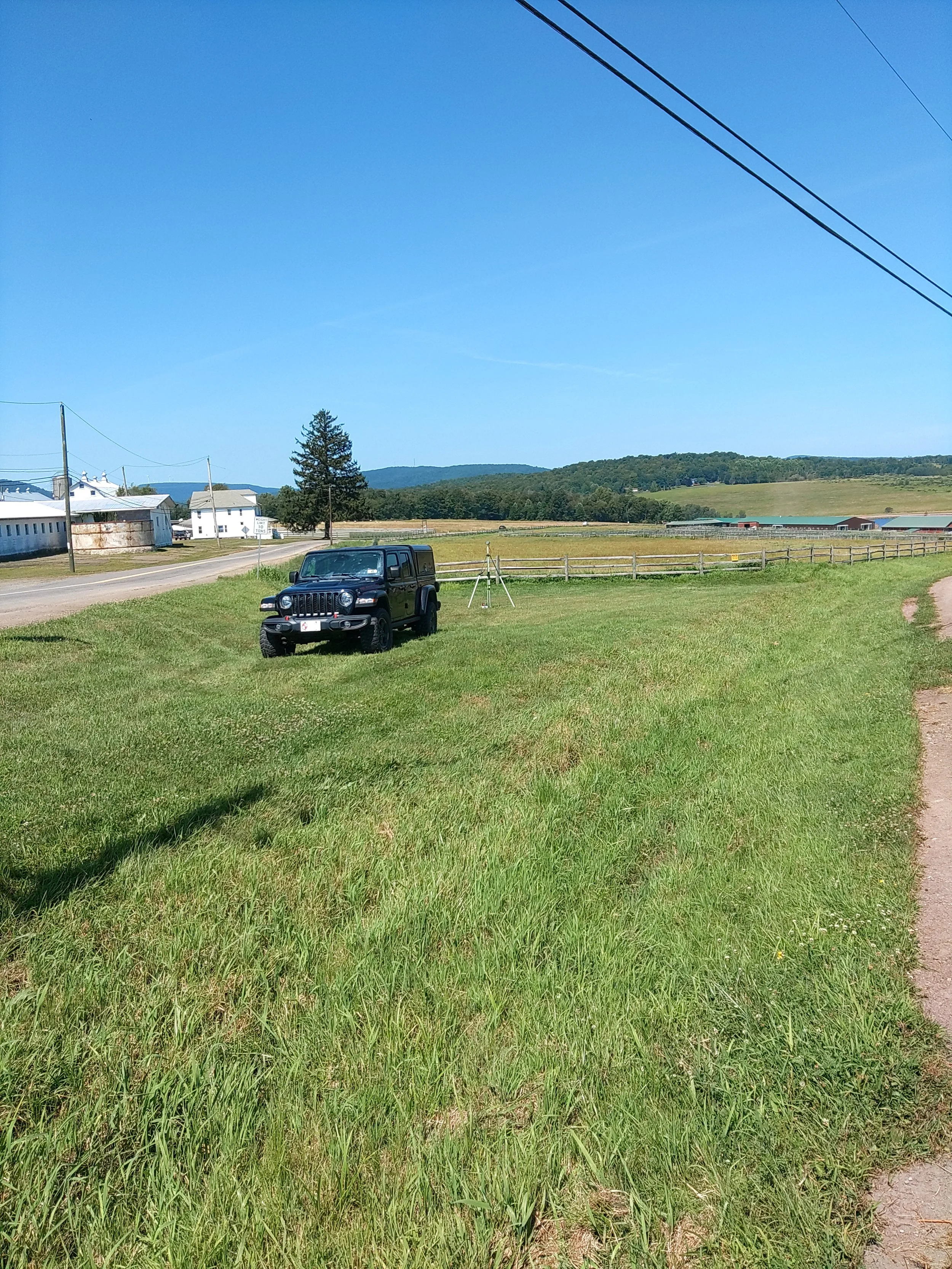
Used to identify and document property lines for residential and commercial parcels, helping clarify boundary location, existing improvements, and recorded land relationships.
-
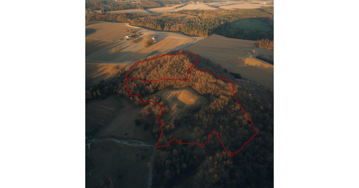
Required when dividing land into separate lots or parcels, supporting layout planning, legal descriptions, and future development needs.
-
Used when combining adjoining parcels into one legal tract, often to simplify ownership, improve development planning, or support future property use.
-
Supports the creation of new legal lots by establishing dimensions, access, and required survey documentation for approval and recording.
TECHNICAL & SITE SURVEYS
-
Documents elevation changes, surface features, and existing site conditions to support design, engineering, drainage review, and site planning.
-
Prepared after construction to document the final location of structures, improvements, and site conditions as they exist in the field.
-
Provides field staking and measurement guidance so construction improvements are placed accurately according to approved plans.
SPECIALIZED SURVEY SUPPORT
-
Used to document elevation information required for flood insurance, floodplain compliance, and FEMA-related property needs.
-
Prepared to document elevation requirements related to dock construction and property compliance for Harveys Lake locations.
-
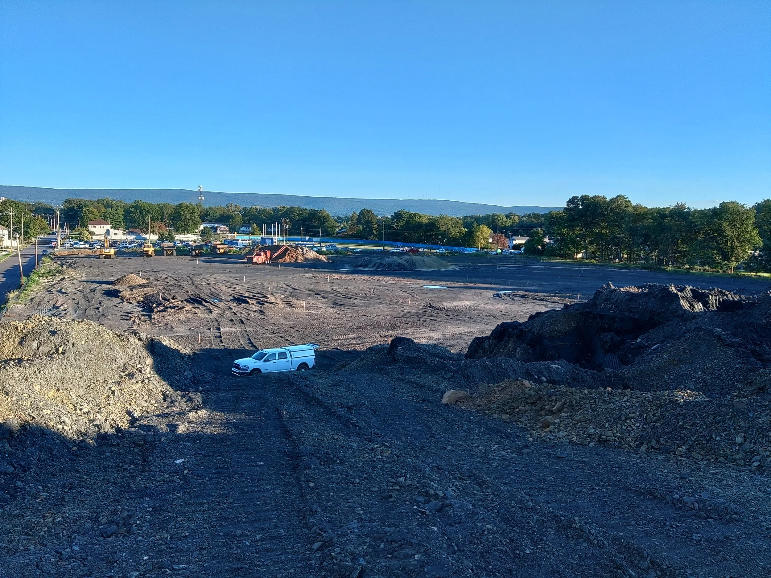
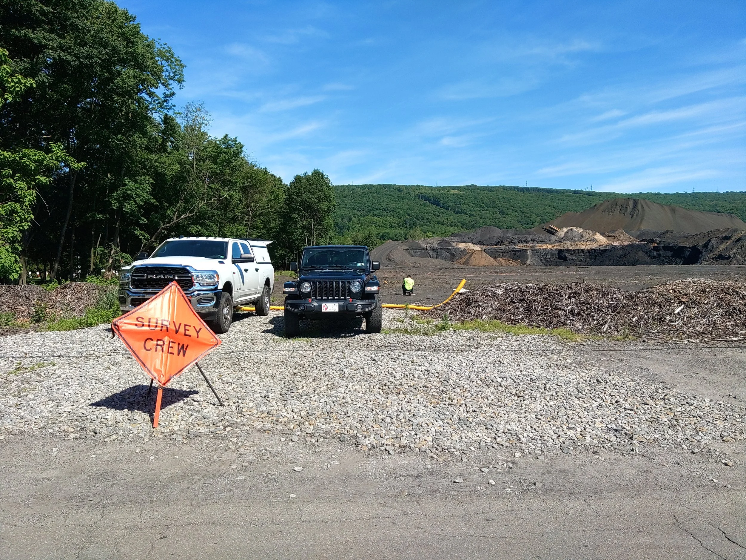
Used for technical surface measurement, land documentation, and volume calculations related to mining activity and site evaluation.
-
Provides technical survey review and professional support in matters involving property boundaries, land records, and disputed survey-related issues.
A direct call helps determine which survey service best fits your property or project.
When Surveying Accuracy Becomes Important
-

Confirming Property Boundaries
Property lines are identified through field evidence, recorded information, and site conditions.
-
Preparing for Construction
Field conditions and layout points are established before site work or improvements begin.
-
Subdividing or Reconfiguring Land
Lot dimensions and parcel relationships are defined to support land division or consolidation.
-
Property Transfers & Purchases
Boundary relationships and existing site conditions are reviewed before ownership changes occur.
-
Resolving Boundary Questions
Field review and technical interpretation help address property line concerns.
Survey Knowledge that Supports Accurate Field Decisions
Surveying experience becomes most valuable when technical accuracy, field judgment, and long-term professional credibility all matter.
PROFESSIONAL BACKGROUND
Pennsylvania Land Surveyor (PLS) foundation
Pennsylvania Society of Land Surveyors (PSLS)
National Society of Professional Land Surveyors (NSPS)
Nearly 50 years of regional surveying experience
Projects ranging from small residential parcels to 6,000-acre tracts
RECOGNIZED TECHNICAL SURVEYING EXPERIENCE
Surveyor of the Year (2011)
Both licensed surveyors in our office hold multiple PSLS Distinguished Service Awards
Multiple statewide plat competition awards
Questions about a survey, property line, or project requirement?
Share Your Experience With Our Survey Team
Whether your project involved boundary work, subdivision planning, topographic surveying, or construction support, your review helps others better understand the level of service they can expect when working with our team.


Your Google review helps others looking for dependable surveying services.
Speak Directly with Our Office
Questions involving property lines, surveys, land records, or project planning are best addressed by phone.
A brief call helps us understand your needs and direct your inquiry appropriately from the beginning.
Glenn Johnson & Associates, LLC
570-477-2368
Office Hours
Monday - Friday
9:00 AM - 5:00 PM
Location
Northeastern Pennsylvania
Serving Luzerne, Wyoming, Lackawanna, Wayne, and Susquehanna Counties – and projects across Northeastern Pennsylvania.

Glenn Johnson & Associates, LLC appears within the M.A.P.S. Services, Inc. network, where visitors may also access related land-development and technical service resources.